Overview
Purpose
To provide a place to display information about aerial imaging services I provide
Audience
People interested in aerial photography services
Branding
Website Logo

Style Guide
Color Palette
Palette URL: https://coolors.co/bdb4bf-f2c14e-473bf0-00a6fb-b4436c| Primary | Secondary | Accent 1 | Accent 2 |
|---|---|---|---|
| [#BDB4BF] | [#473BF0] | [#00A6FB] | [#B4436C] |
Typography
Heading Font: Georgia
Paragraph Font: Georgia
Normal paragraph example
Lorem ipsum dolor sit amet, consectetur adipiscing elit, sed do eiusmod tempor incididunt ut labore et dolore magna aliqua. Ut enim ad minim veniam, quis nostrud exercitation ullamco laboris nisi ut aliquip ex ea commodo consequat. Duis aute irure dolor in reprehenderit in voluptate velit esse cillum dolore eu fugiat nulla pariatur. Excepteur sint occaecat cupidatat non proident, sunt in culpa qui officia deserunt mollit anim id est laborum.
Colored paragraph example
Lorem ipsum dolor sit amet, consectetur adipiscing elit, sed do eiusmod tempor incididunt ut labore et dolore magna aliqua. Ut enim ad minim veniam, quis nostrud exercitation ullamco laboris nisi ut aliquip ex ea commodo consequat.
Navigation
Site Map
Content
Home page
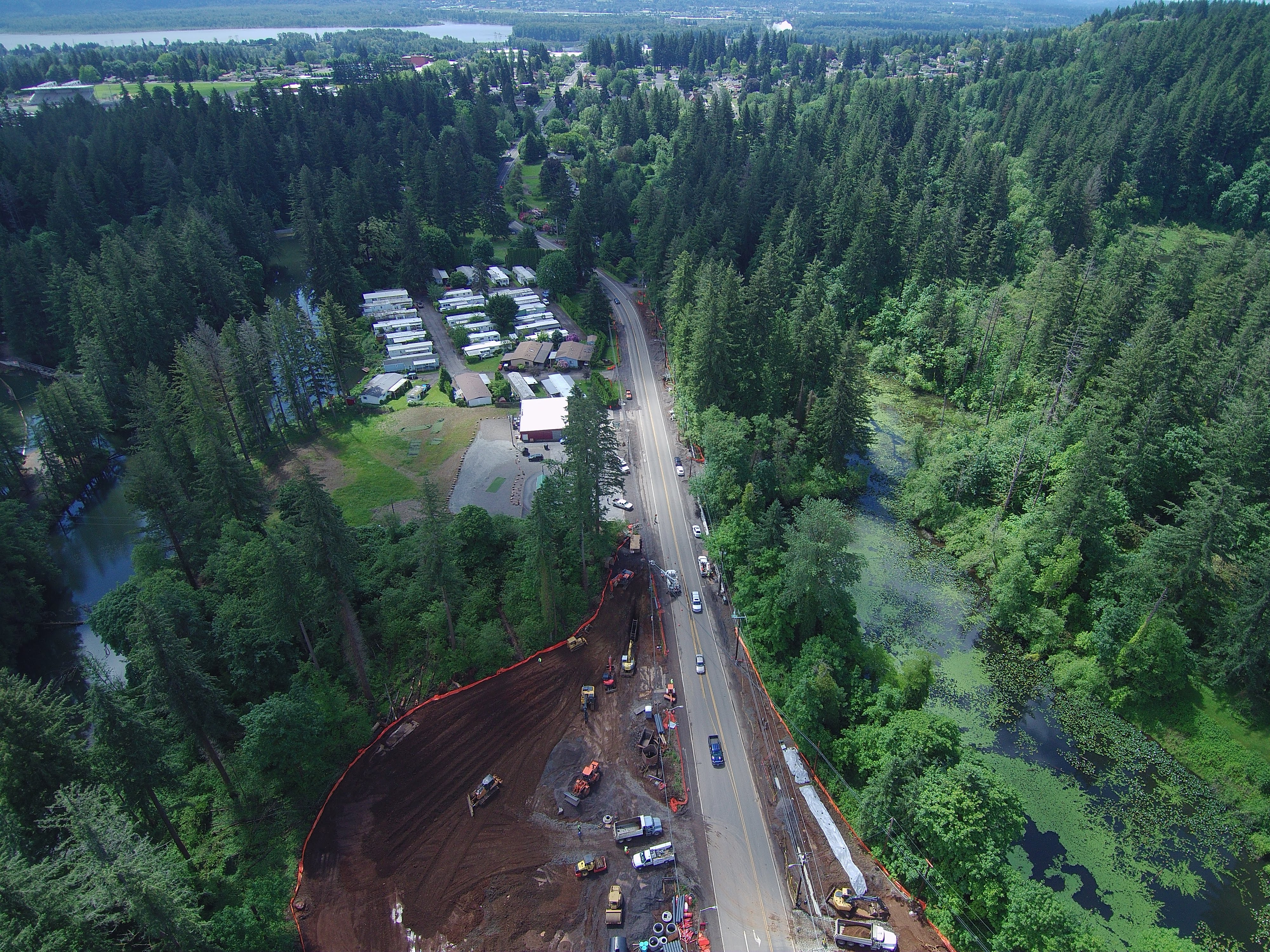
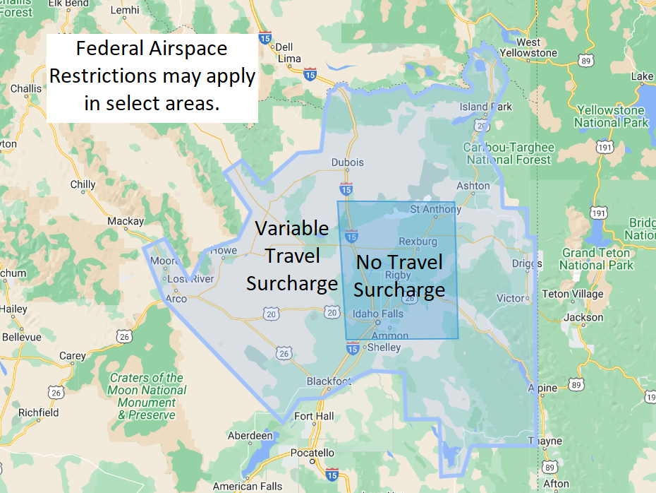
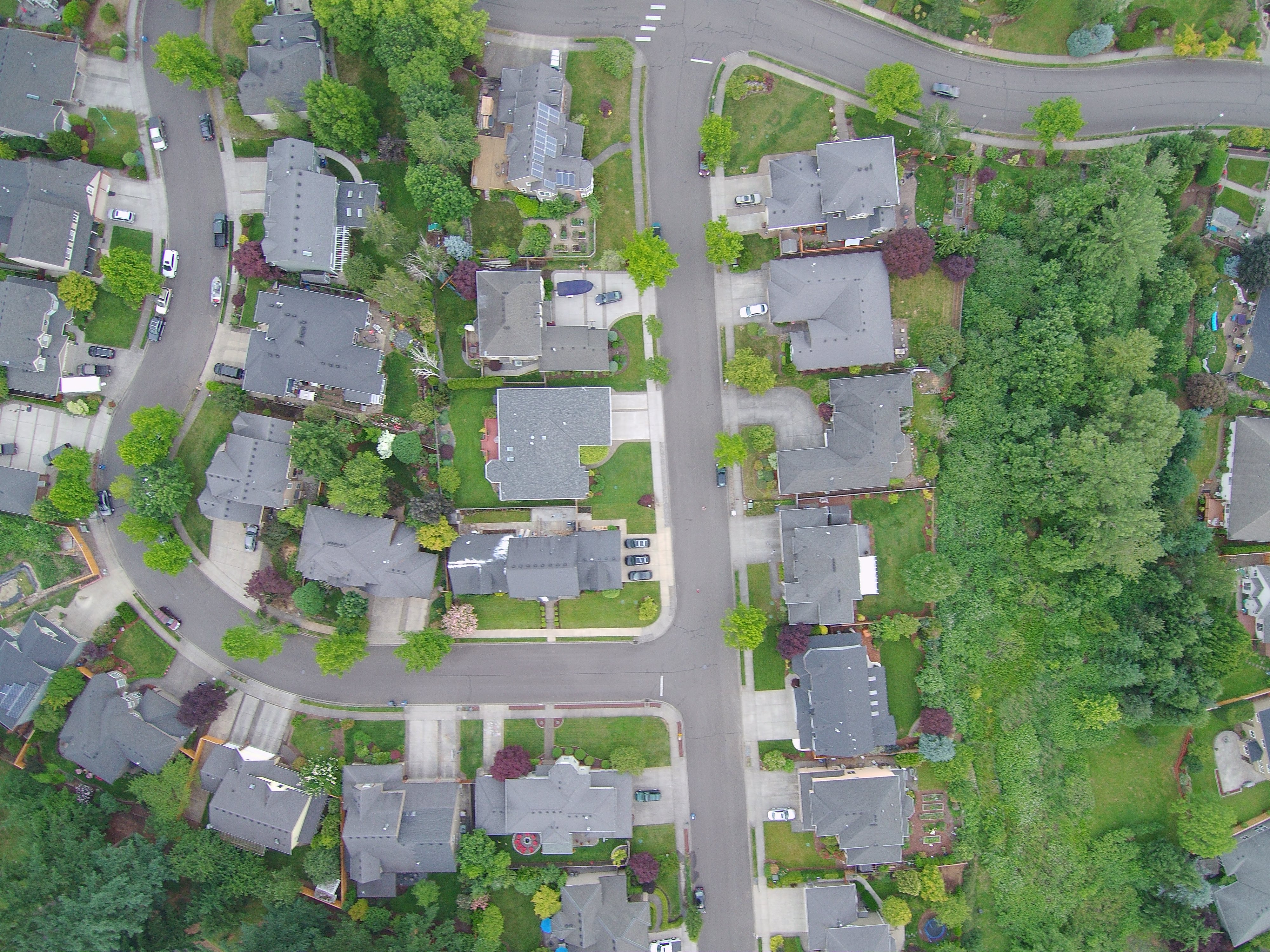
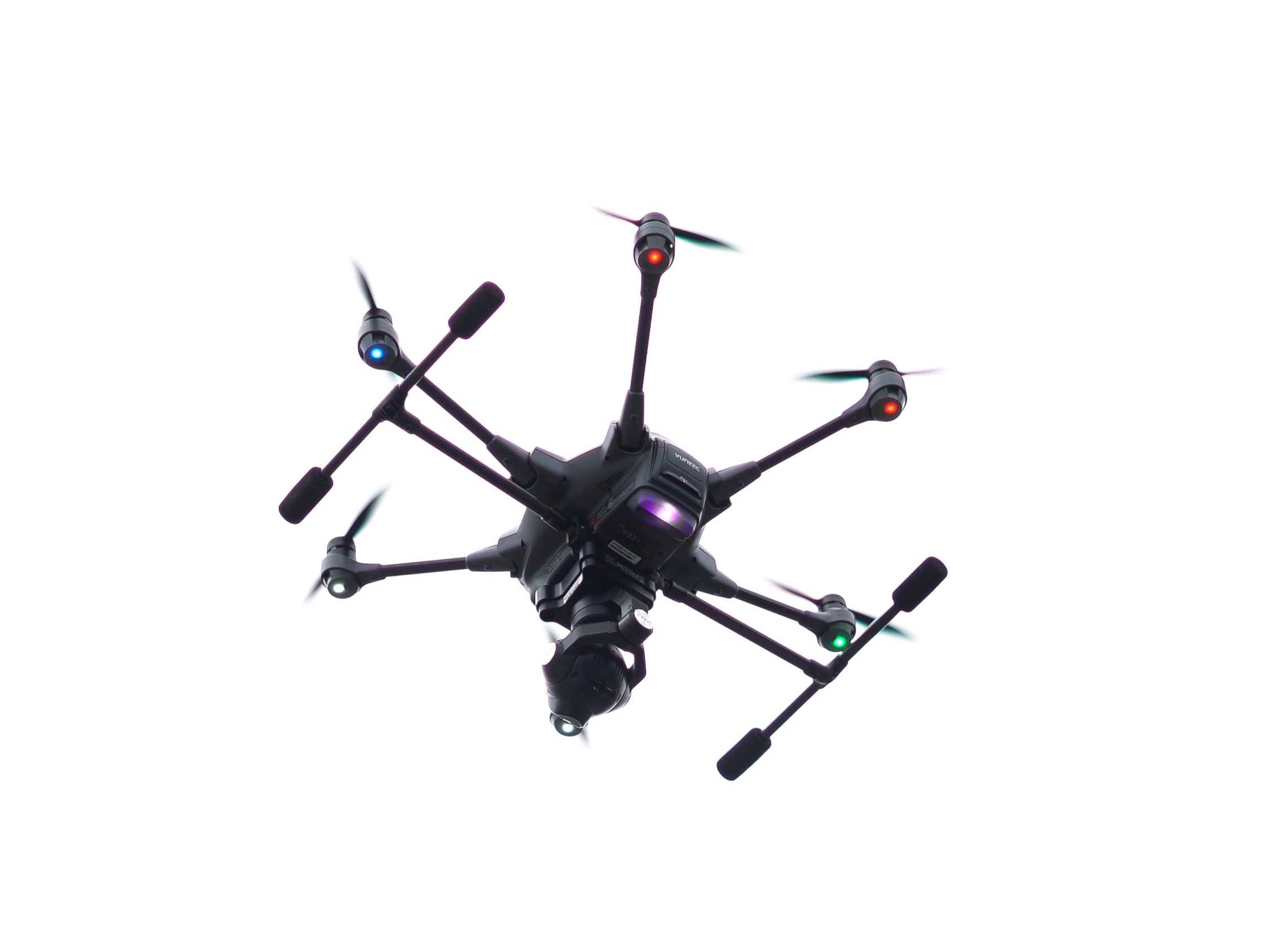
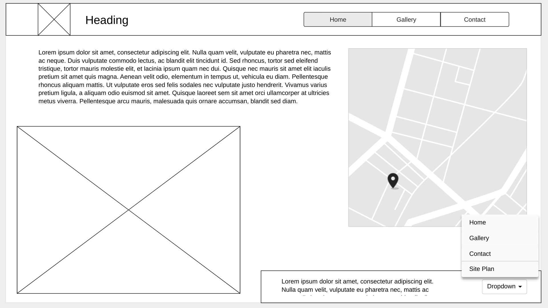
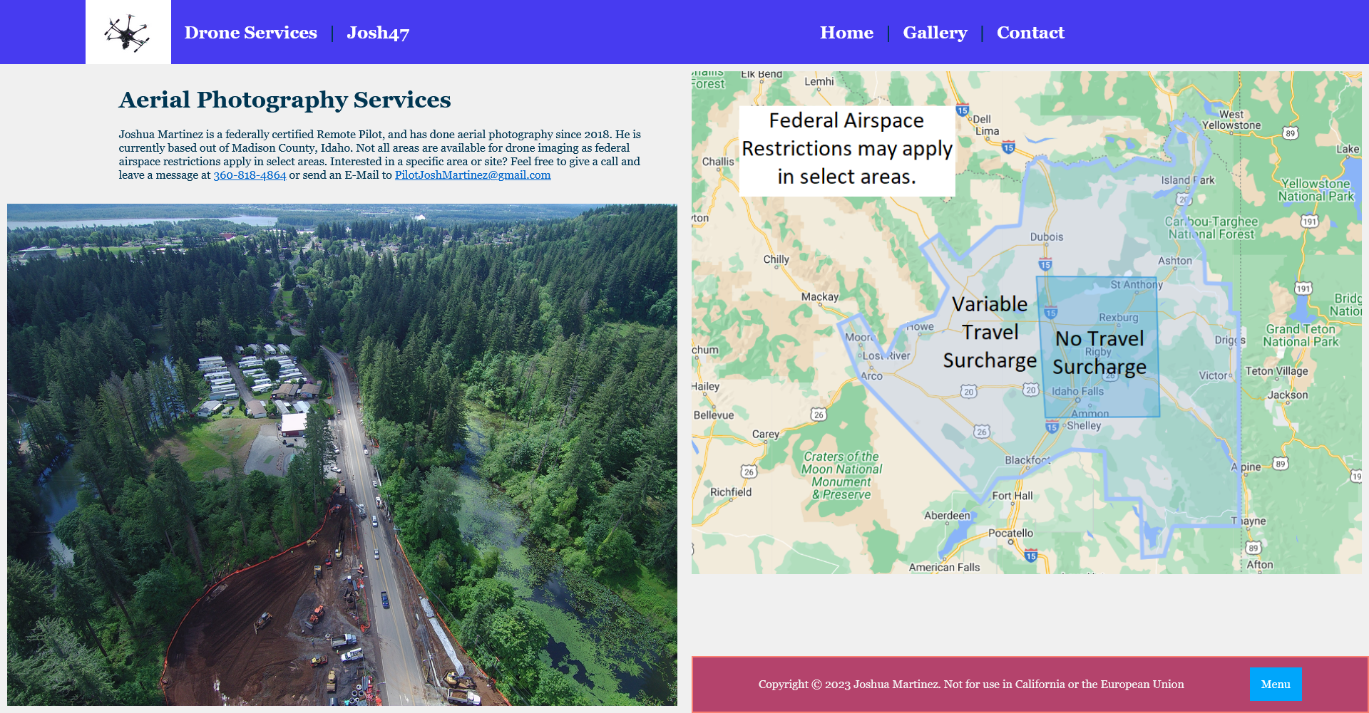
Aerial Photography Services Joshua Martinez is a federally certified Remote Pilot, and has done aerial photography since 2018. He is currently based out of Madison County, Idaho. Not all areas are available for drone imaging as federal airspace restrictions apply in select areas. Interested in a specific area or site? Feel free to give a call and leave a message at 360-818-4864 or send an E-Mail to PilotJoshMartinez@gmail.com
Images for the Home page
Gallery
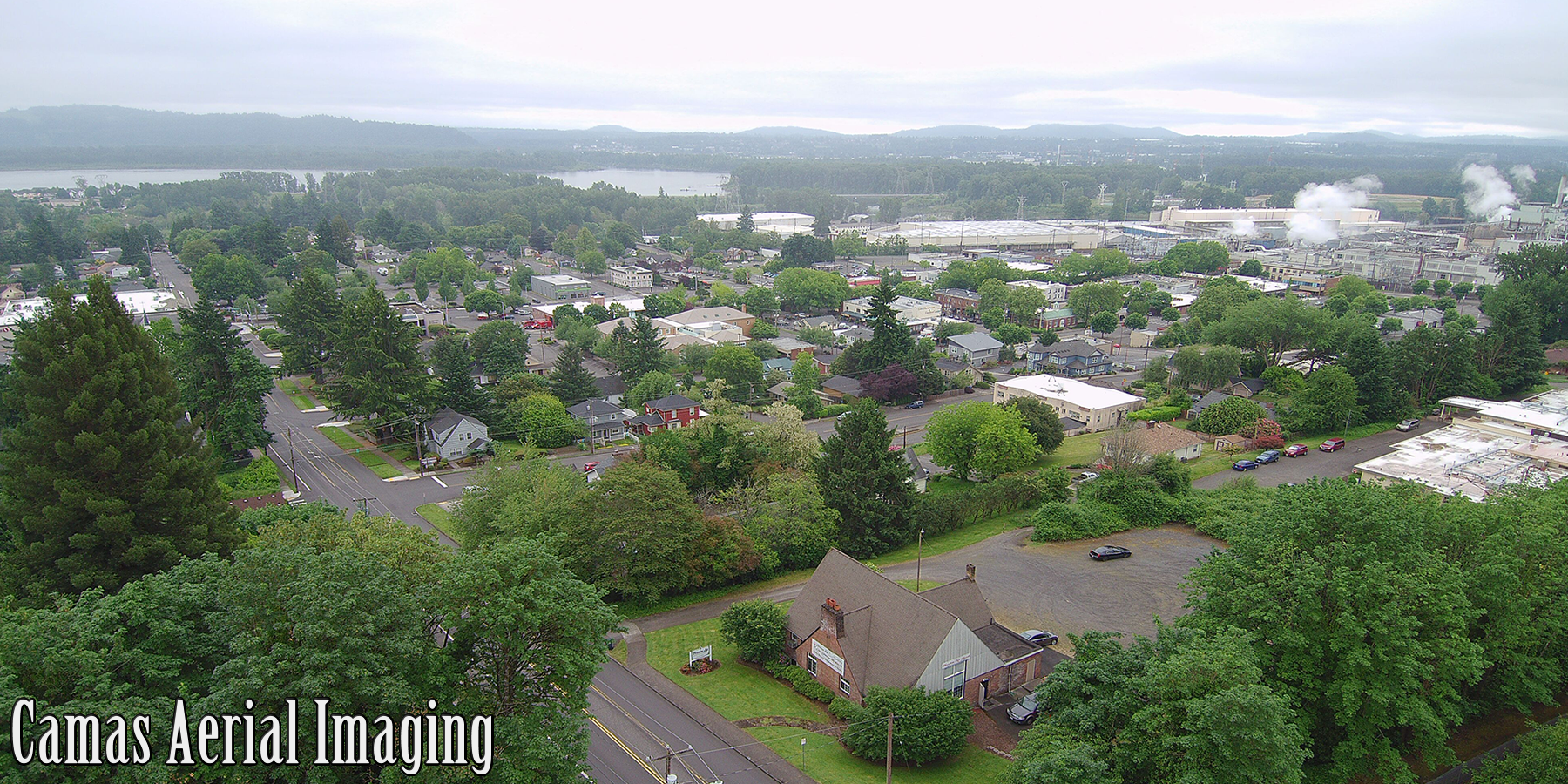
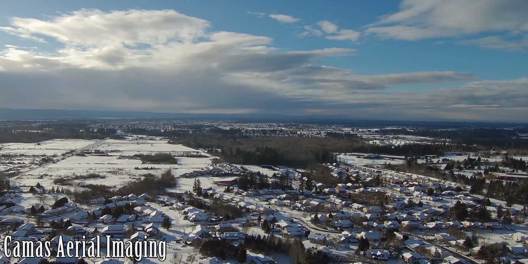
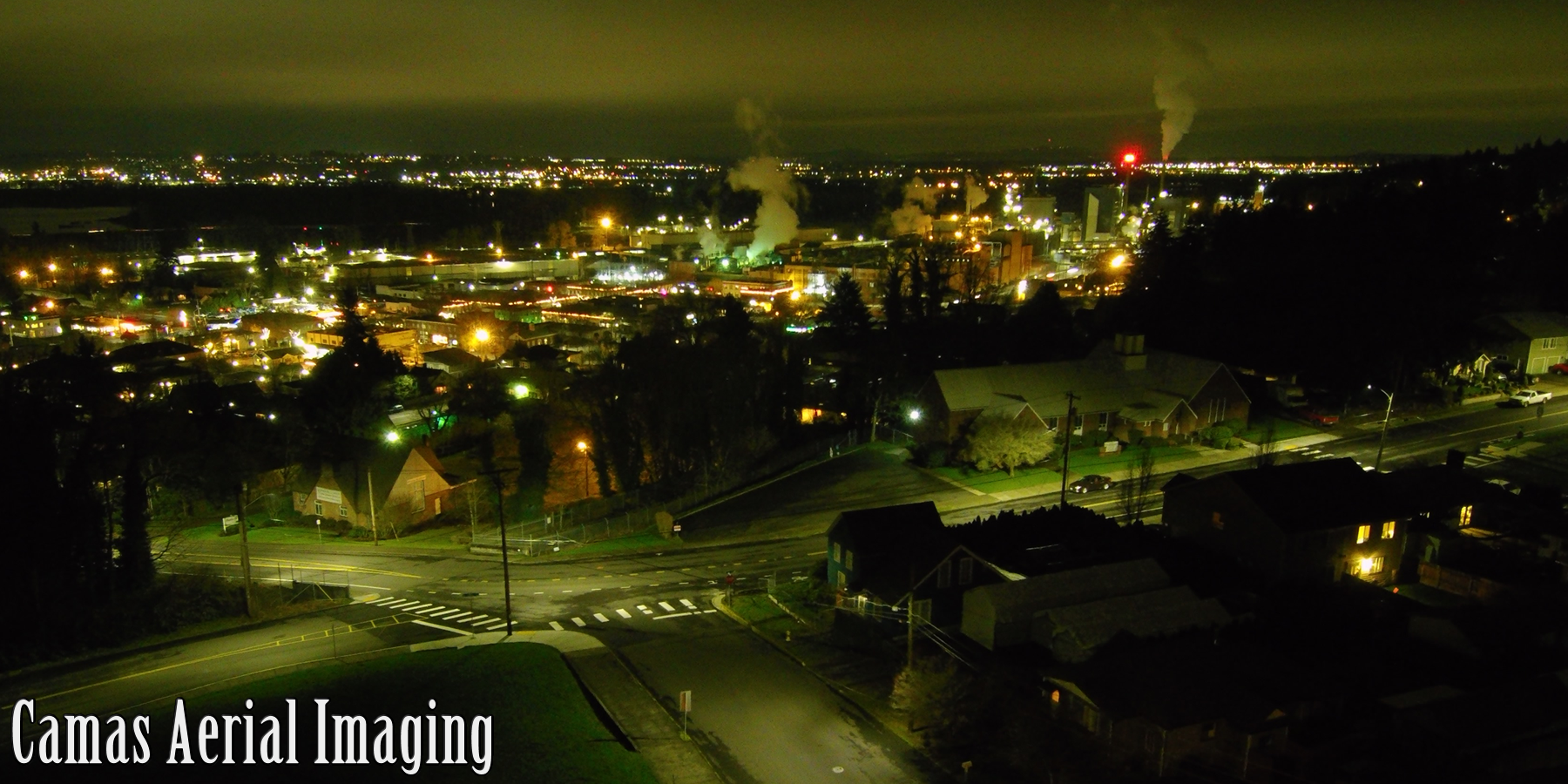
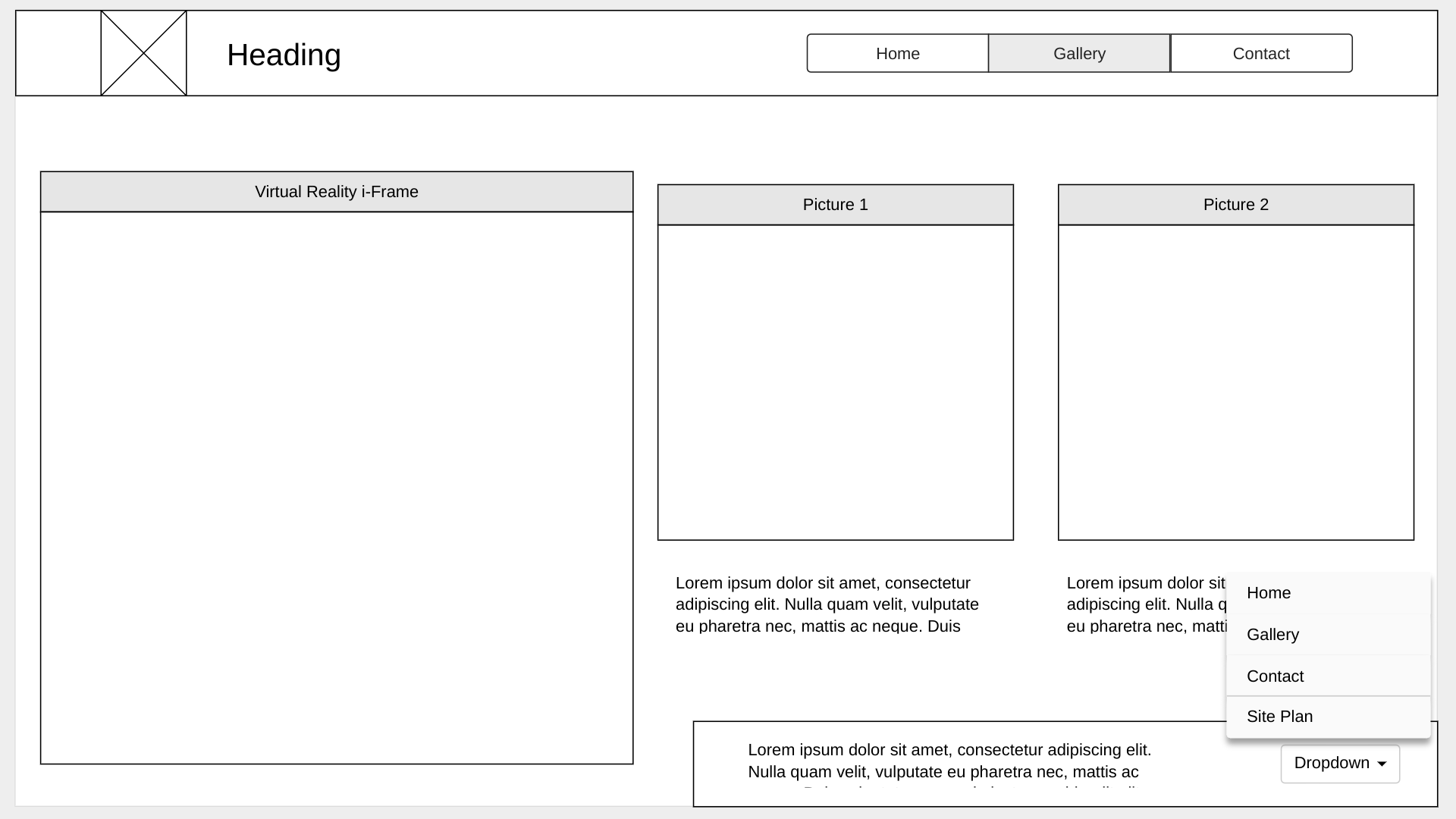
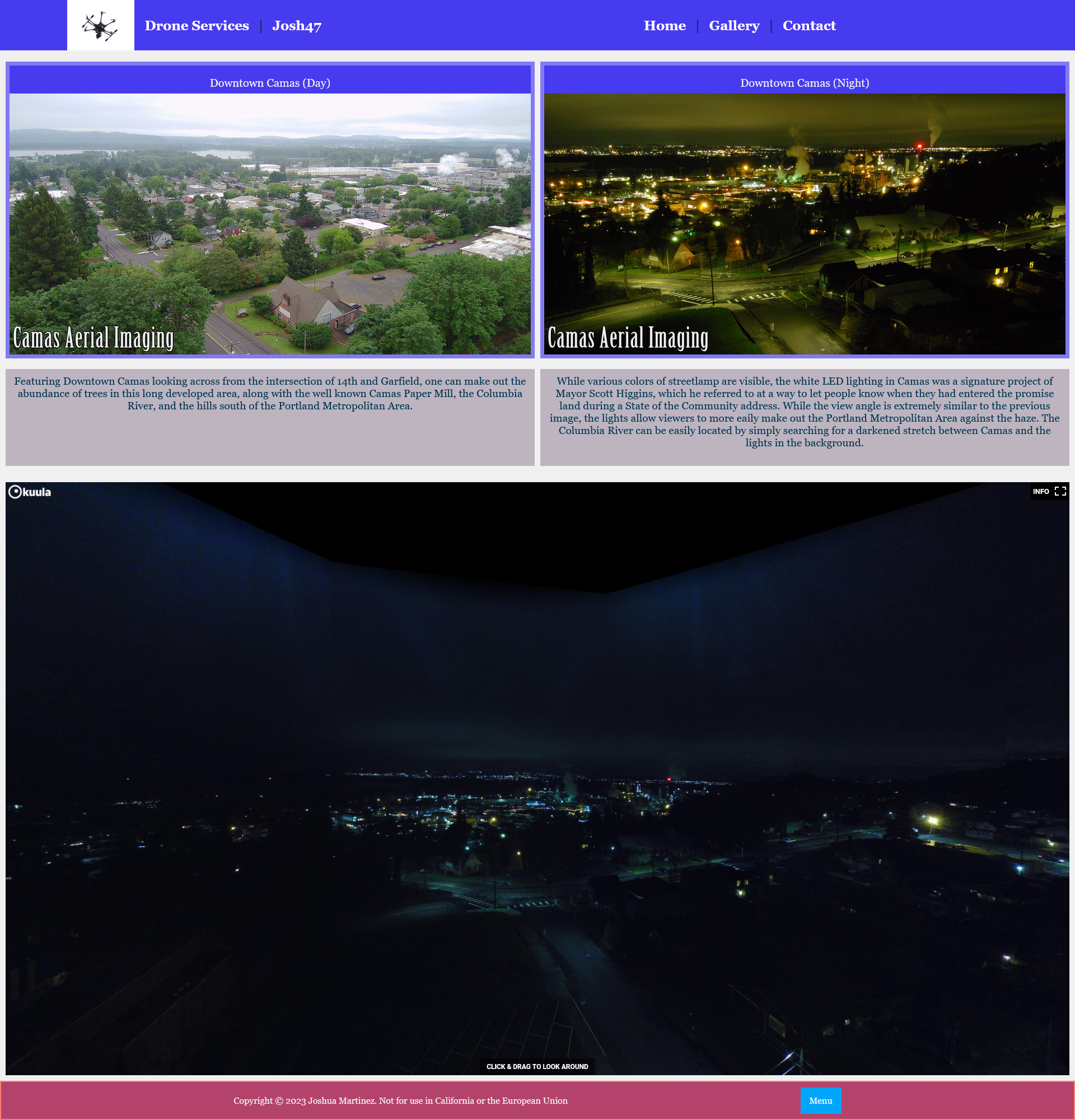
Downtown Camas (Day) Featuring Downtown Camas looking across from the intersection of 14th and Garfield, one can make out the abundance of trees in this long developed area, along with the well known Camas Paper Mill, the Columbia River, and the hills south of the Portland Metropolitan Area. Grass Valley, WA, in the Snow Taken at approximately 200ft AGL, this image features Grass Valley (the area and the school) and East Vancouver. 38th Avenue / 20th Street can be seen stretching into the distance on the left, and the hills west ov Vancouver can be seen faintly through the haze. Downtown Camas (Night) While various colors of streetlamp are visible, the white LED lighting in Camas was a signature project of Mayor Scott Higgins, which he referred to at a way to let people know when they had entered the promise land during a State of the Community address. While the view angle is extremely similar to the previous image, the lights allow viewers to more eaily make out the Portland Metropolitan Area against the haze. The Columbia River can be easily located by simple searching for a darkened stretch between Camas and the lights in the background.
Images for the Gallery page
Contact
Reach out to learn more about services in your area today! Phone 360-818-4864 Email PilotJoshMartinez@gmail.com
Images for the Contact page

Wireframes
Create three wireframes for your site. One for each page and list them here
Home
Initial Plan
Final Design
Gallery
Initial Plan
Final Design
Contact
Initial Plan
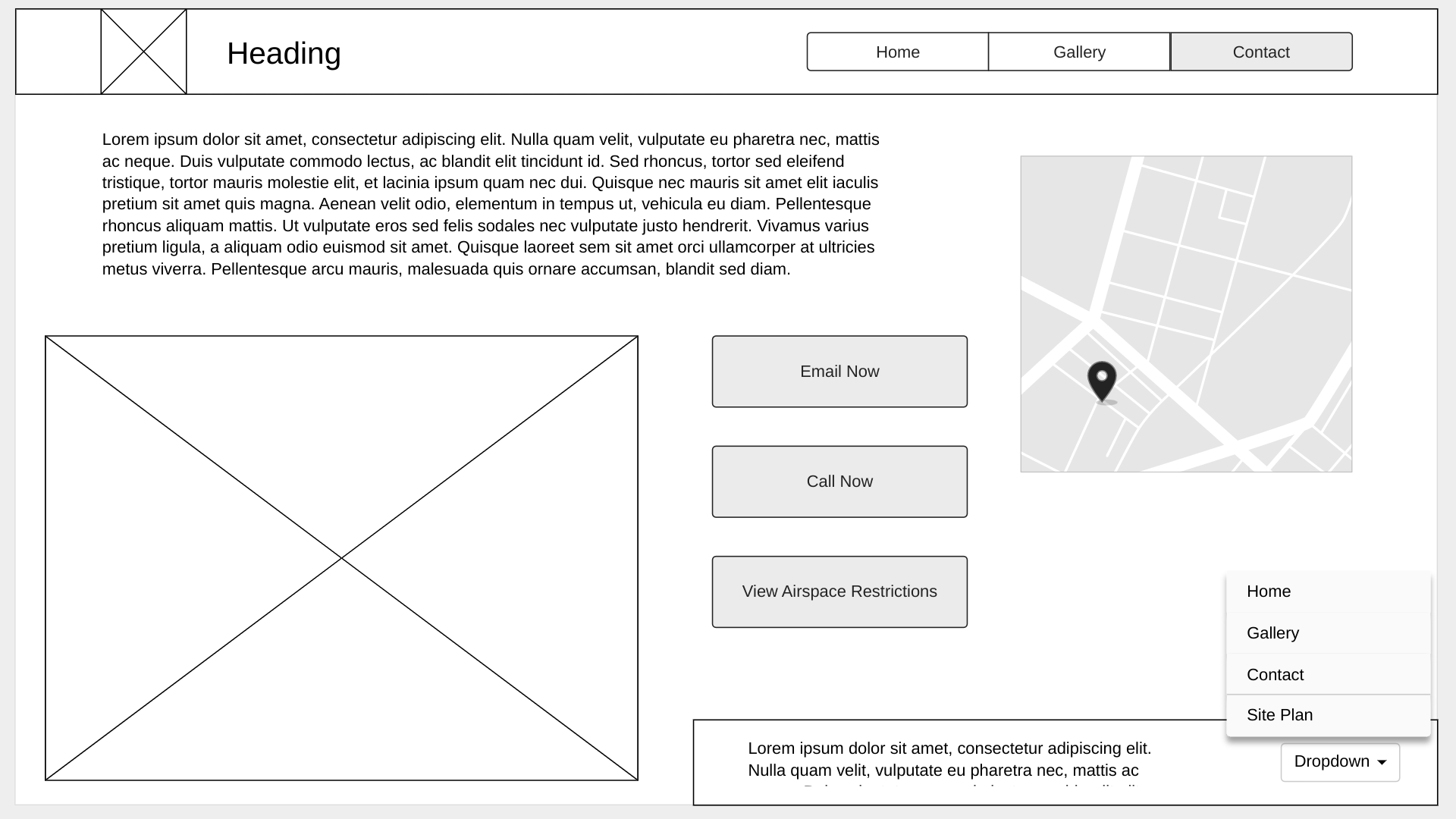
Final Design
